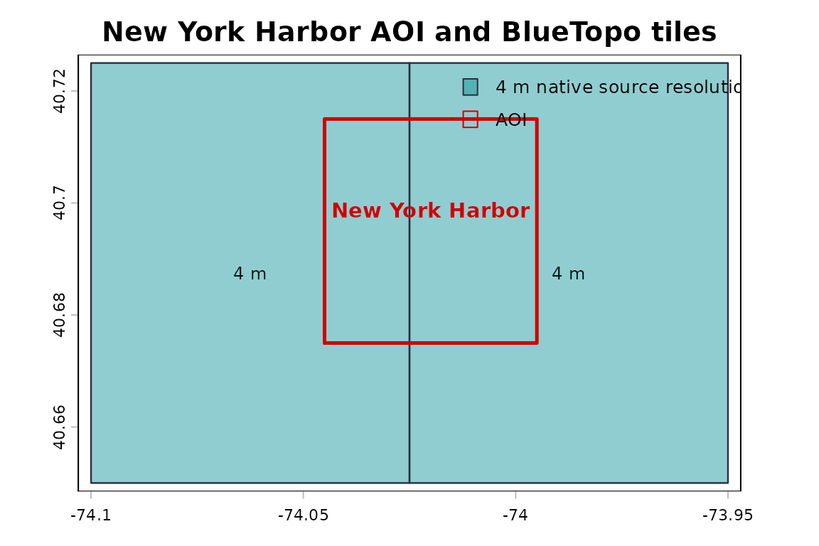
This example uses BlueTopo source tiles from the National Bathymetric Source catalog. The build verifies the downloaded assets and records their source metadata.
This example uses BlueTopo tiles covering New York Harbor. The
workflow demonstrates tile discovery, checksum-verified asset retrieval,
and file-backed raster access with terra.
Coverage is geometric tile-index coverage rather than a data-quality measure.
Selected tiles
tiles <- bluertopo_tiles(
  real_aoi,
  resolution = "native",
  coverage = "warn",
  quiet = TRUE
)| Tile ID | Resolution (m) | UTM zone | Delivery date | Intersection area (m²) | Tile intersected (%) | Selection rank | Selection | Coverage fallback | GeoTIFF URL | RAT URL |
|---|---|---|---|---|---|---|---|---|---|---|
| BH4XC5FK | 4 | 18 | 2026-06-25 10:51:01 | 7508785 | 14.221 | 1 | Native | No | noaa-ocs-nationalbathymetry-pds.s3.amazonaws.com/BlueTopo/BH4XC5FK/BlueTopo_BH4XC5FK_20260624.tiff | noaa-ocs-nationalbathymetry-pds.s3.amazonaws.com/BlueTopo/BH4XC5FK/BlueTopo_BH4XC5FK_20260624.tiff.aux.xml |
| BH4XD5FK | 4 | 18 | 2026-06-25 10:50:52 | 11263177 | 21.331 | 2 | Native | No | noaa-ocs-nationalbathymetry-pds.s3.amazonaws.com/BlueTopo/BH4XD5FK/BlueTopo_BH4XD5FK_20260624.tiff | noaa-ocs-nationalbathymetry-pds.s3.amazonaws.com/BlueTopo/BH4XD5FK/BlueTopo_BH4XD5FK_20260624.tiff.aux.xml |