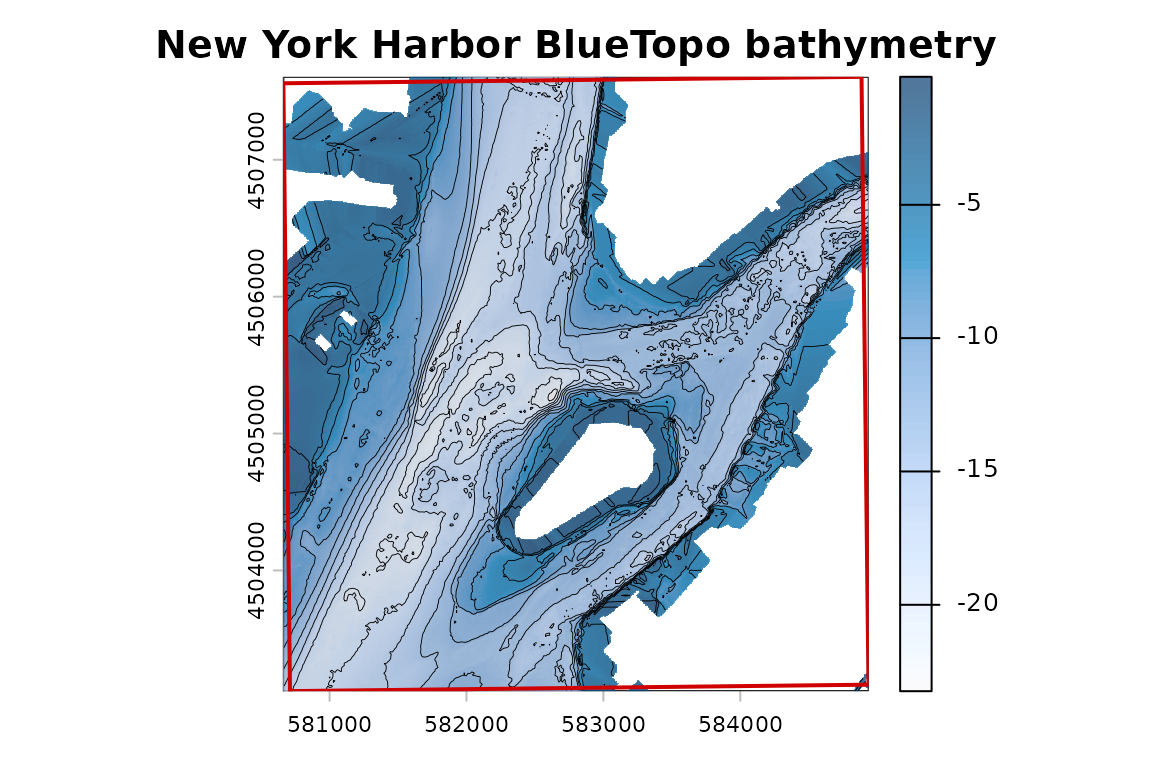
This example uses BlueTopo source tiles from the National Bathymetric Source catalog. The build verifies the downloaded assets and records their source metadata.
This example uses BlueTopo tiles covering New York Harbor. The
workflow demonstrates tile discovery, checksum-verified asset retrieval,
and file-backed raster access with terra. Raster Attribute
Table (RAT) sidecars are retained with the source GeoTIFF assets.
What the examples show
| Example | Main function | Shows | Output type |
|---|---|---|---|
| Discover tiles and coverage | bluertopo_tiles() | AOI intersection, selected footprints, coverage diagnostics | Tables and footprint figure |
| Download original assets | bluertopo_download() | Verified NOAA GeoTIFF and RAT sidecar assets | Manifest tables and status figure |
| Extract elevation with terra | bluertopo() | File-backed terra object and provenance | terra summary tables and raster figure |
| Compare resolution policies | bluertopo_tiles() | Native source-resolution selection effects | Policy comparison tables and maps |
| Mixed grids and output grid | bluertopo() | SpatRasterCollection versus explicit output grid | Grid summary tables and raster figure |
| Layers and RAT metadata | bluertopo() | Elevation, uncertainty, contributor IDs, and RAT metadata | Layer/RAT tables and raster figures |
Locator map
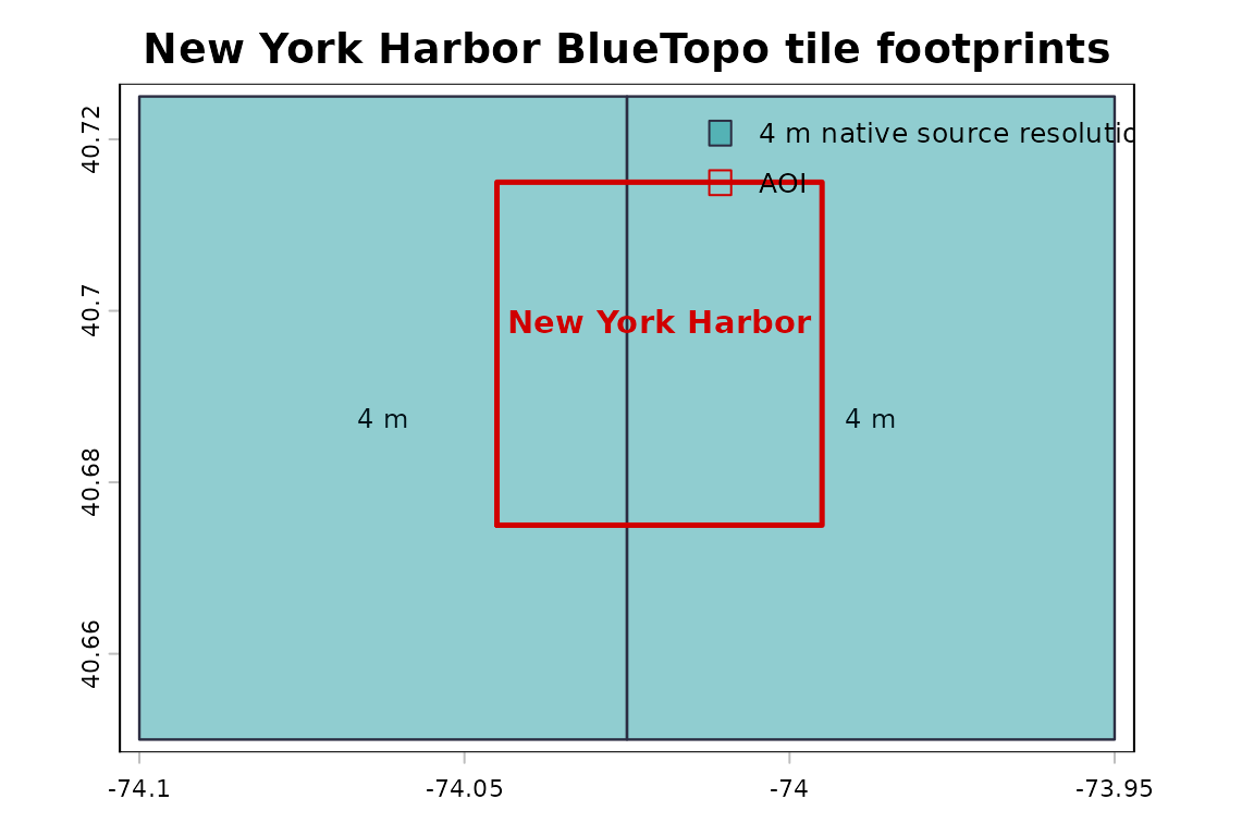
BlueTopo tile coverage for the New York Harbor example area.
| Tile ID | Resolution (m) | UTM zone | Delivery date | Intersection area (m²) | Tile intersected (%) | Selection rank | Selection | Coverage fallback | GeoTIFF URL | RAT URL |
|---|---|---|---|---|---|---|---|---|---|---|
| BH4XC5FK | 4 | 18 | 2026-06-25 10:51:01 | 7508785 | 14.221 | 1 | Native | No | noaa-ocs-nationalbathymetry-pds.s3.amazonaws.com/BlueTopo/BH4XC5FK/BlueTopo_BH4XC5FK_20260624.tiff | noaa-ocs-nationalbathymetry-pds.s3.amazonaws.com/BlueTopo/BH4XC5FK/BlueTopo_BH4XC5FK_20260624.tiff.aux.xml |
| BH4XD5FK | 4 | 18 | 2026-06-25 10:50:52 | 11263177 | 21.331 | 2 | Native | No | noaa-ocs-nationalbathymetry-pds.s3.amazonaws.com/BlueTopo/BH4XD5FK/BlueTopo_BH4XD5FK_20260624.tiff | noaa-ocs-nationalbathymetry-pds.s3.amazonaws.com/BlueTopo/BH4XD5FK/BlueTopo_BH4XD5FK_20260624.tiff.aux.xml |