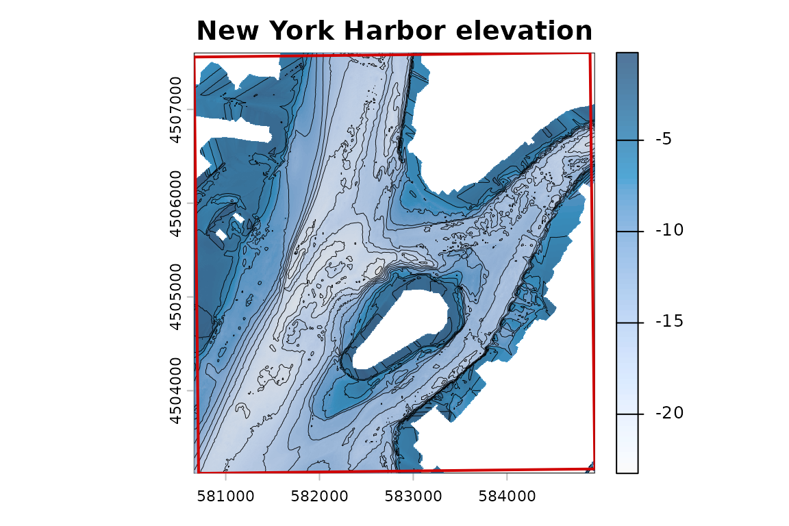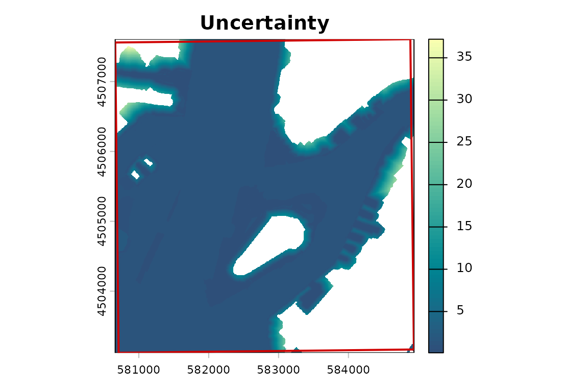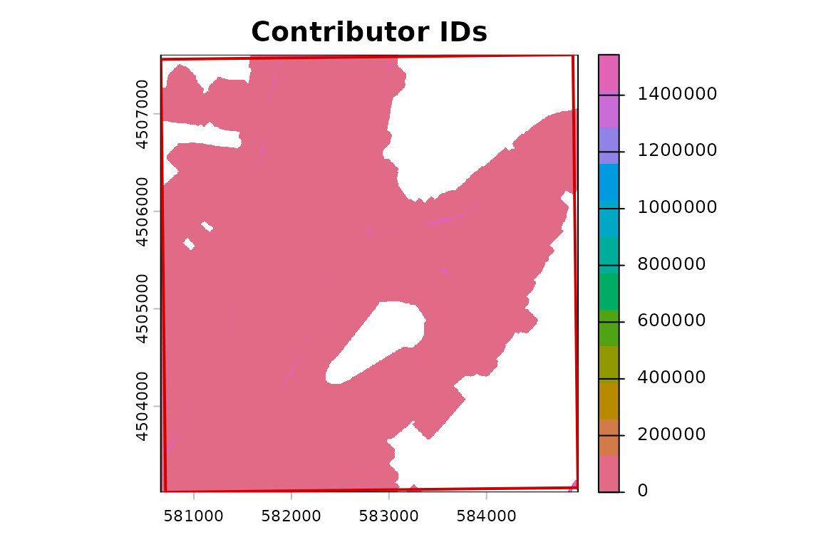
This example uses BlueTopo source tiles from the National Bathymetric Source catalog. The build verifies the downloaded assets and records their source metadata.
This example uses BlueTopo tiles covering New York Harbor. The
workflow demonstrates tile discovery, checksum-verified asset retrieval,
and file-backed raster access with terra. It opens
elevation, uncertainty, and contributor layers, then reads Raster
Attribute Table (RAT) sidecars for contributor metadata. Elevation is
shown with hillshade and contours; uncertainty and contributor IDs are
plotted as their own source layers.
The contributor band contains IDs, not continuous values. Contributor
IDs must not be averaged. RAT sidecars carry contributor metadata, and
bluertopo preserves original RAT files.
All layers
all_layers <- bluertopo(
  real_aoi,
  layers = "all",
  coverage = "fill",
  details = TRUE,
  progress = FALSE,
  quiet = TRUE
)| layer | source band | meaning | default resampling rule |
|---|---|---|---|
| elevation | 1 | source elevation values | bilinear only when an explicit output grid is requested |
| uncertainty | 2 | source vertical uncertainty values | bilinear only when an explicit output grid is requested; values are then resampled |
| contributor | 3 | categorical contributor/source IDs | nearest-neighbor only; never average contributor IDs |
RAT sidecar manifest
| Tile ID | Source file | Local path | Verified | SHA-256 |
|---|---|---|---|---|
| BH4XC5FK | BlueTopo_BH4XC5FK_20260624.tiff.aux.xml | package-cache/tiles/BH4XC5FK/BlueTopo_BH4XC5FK_20260624.tiff.aux.xml | Yes | 21405b45e162 |
| BH4XD5FK | BlueTopo_BH4XD5FK_20260624.tiff.aux.xml | package-cache/tiles/BH4XD5FK/BlueTopo_BH4XD5FK_20260624.tiff.aux.xml | Yes | 59814a3e330c |
Contributor lookup
| contributor_value | source_survey_id | source_institution | license_name | survey_date_start | survey_date_end | coverage | bathy_coverage | rat_source |
|---|---|---|---|---|---|---|---|---|
| 0 | NBS Generalization | DOC/NOAA/NOS/OCS – Office of Coast Survey | cc0-1.0 | 1807-02-10 | 1807-02-10 | 0 | 0 | BlueTopo_BH4XC5FK_20260624.tiff.aux.xml |
| 104981 | H11395_Xof2.combined | DOC/NOAA/NOS/OCS – Office of Coast Survey | CC0-1.0 | 2005-03-17 | 2006-03-20 | 0 | 0 | BlueTopo_BH4XC5FK_20260624.tiff.aux.xml |
| 43868 | H05609 | DOC/NOAA/NOS/OCS – Office of Coast Survey | cc0-1.0 | 1934-01-01 | 1934-01-01 | 1 | 1 | BlueTopo_BH4XC5FK_20260624.tiff.aux.xml |
| 38388 | F00463 | DOC/NOAA/NOS/OCS – Office of Coast Survey | cc0-1.0 | 2000-01-01 | 2000-01-01 | 1 | 1 | BlueTopo_BH4XC5FK_20260624.tiff.aux.xml |
| 104992 | F00630_MB_50cm_MLLW_1of1.interpolated | DOC/NOAA/NOS/OCS – Office of Coast Survey | CC0-1.0 | 2013-04-17 | 2013-04-29 | 1 | 0 | BlueTopo_BH4XC5FK_20260624.tiff.aux.xml |
| 104997 | H11395_VB_2m_MLLW_1of2 | DOC/NOAA/NOS/OCS – Office of Coast Survey | CC0-1.0 | 2005-03-17 | 2006-03-20 | 1 | 1 | BlueTopo_BH4XC5FK_20260624.tiff.aux.xml |
| 8987 | NY_02_ANC_20220104_CS_5127_45 | DOD/USACE – US Army Corps of Engineers New York District | cc0-1.0 | 2022-01-04 | 2022-01-04 | 1 | 1 | BlueTopo_BH4XC5FK_20260624.tiff.aux.xml |
| 56695 | NY_02_ANC_20140806_CS_4158_45X.interpolated | DOD/USACE – US Army Corps of Engineers New York District | cc0-1.0 | 2014-08-06 | 2014-08-06 | 0 | 0 | BlueTopo_BH4XC5FK_20260624.tiff.aux.xml |
| 105004 | F00623_VB_4m_MLLW_3of3 | DOC/NOAA/NOS/OCS – Office of Coast Survey | CC0-1.0 | 2012-11-01 | 2012-11-06 | 1 | 1 | BlueTopo_BH4XC5FK_20260624.tiff.aux.xml |
| 1540179 | HD_01_HUD_20211025_CS_5106_45 | DOD/USACE – US Army Corps of Engineers New York District | cc0-1.0 | 2021-10-25 | 2021-10-25 | 1 | 1 | BlueTopo_BH4XC5FK_20260624.tiff.aux.xml |
| 1542117 | NJ_06_KVK_20211108_CS_5110_30 | DOD/USACE – US Army Corps of Engineers New York District | cc0-1.0 | 2021-11-08 | 2021-11-08 | 1 | 1 | BlueTopo_BH4XC5FK_20260624.tiff.aux.xml |
| 56712 | NJ_06_KVK_20211108_CS_5110_30.interpolated | DOD/USACE – US Army Corps of Engineers New York District | cc0-1.0 | 2021-11-08 | 2021-11-08 | 0 | 0 | BlueTopo_BH4XC5FK_20260624.tiff.aux.xml |